Geopark: The Structure of Stonewalls on Ærø
Ærø has over 1,000 km of stonewalls dating back to the estate reforms that Duke Hans den Yngre
Just as he did on his other estates in the duchies of Schleswig and Holstein, Duke Hans created a system of estates with large fields belonging to the manor and these fields were worked on by a work force from a growing number of smallholdings and smaller farms. Large farms were brutally closed down, which gave him a reputation as an evil peasant tormentor. In return, however, prior to his death in 1622, he had become the biggest food producer of the duchies. During the 1600s and 1700s, Ærø also became the most intensively cultivated area of the Schleswig duchy.
In 1749, Ærø was combined under the Danish king as the Duke of Schleswig. Later, the four manors on Ærø: Søbygaard, Gudsgave, Gråsten, and Voderup were subdivided into smaller holds. In combination with a swiftly and steadily growing population, Ærø became an island dominated by smallholdings and minor farms.
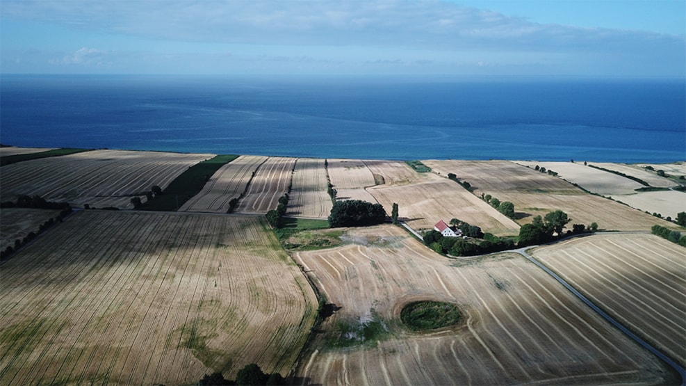
The many stonewalls reflect this farm structure that has characterised Ærø up till the last 30–40 years and which today is a particularly characteristic landscape element on the island. The presence of the stone walls also reflects the concentration of stones and boulders in the topmost glacial sediments deposited by the Young Baltic Glaciation 19-17,000 years ago.