Beaches and coastlines
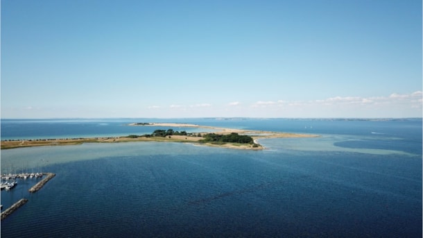
Along the many kilometres of coastline in the archipelago, a diversity of coastal forms have developed, such as salt marshes, headlands, cliffs and islands connected by features. It is this diversity of coastal forms that makes the South Funen Archipelago unique and geologically valuable.
Geospot: Lindelse Nor & Henninge Nor
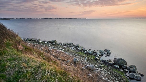
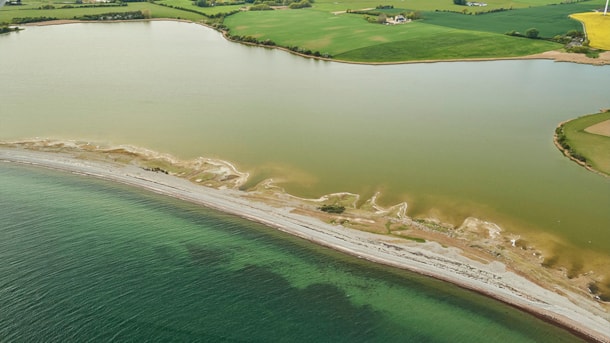
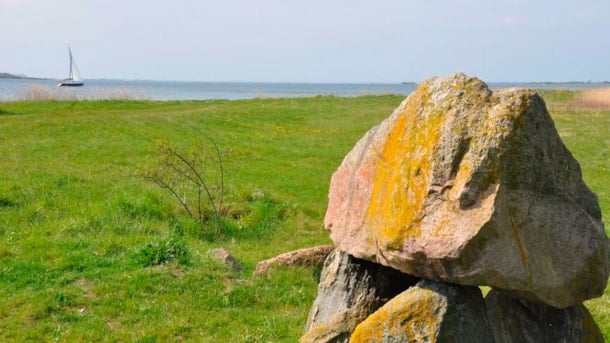
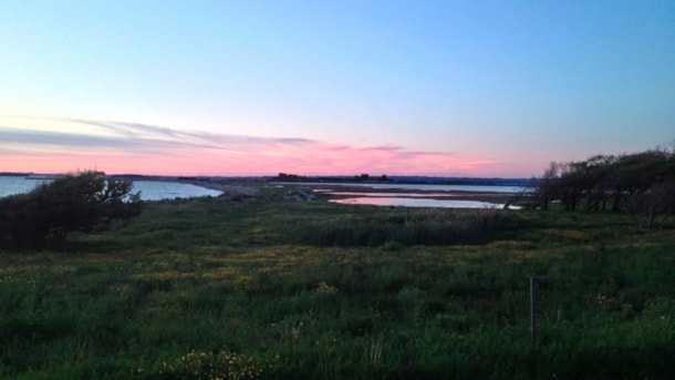
Lindelse Nor (Cove), located five kilometres from Rudkøbing, is a shallow 10 square kilometres cove containing seven islets and islands, two of which are inhabited.
Geopark: From Bagenkop to Dovnsklint
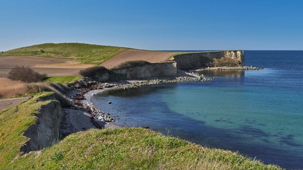
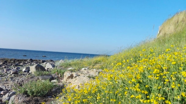
The four-kilometre stretch of coast between Bagenkop and Dovnsklint offers a string of cliffs with beautiful views and cobble-strewn beaches. The cliffs testify to Langeland’s unique glacial landscape...
Thurø Smørmose
Coastal cliff with deposits from two ice ages, a plant-bearing deposit from an interglacial period, soil layers with permafrost structures and a nearby beach
Vejnæs Nakke
Large coastal cliff with Eemian and Weichselian deposits and a wide range of glacial tectonic structures. Northwest of the cliff is a smaller Holocene marine foreland with dune formations
Geospot: Ristinge Hale
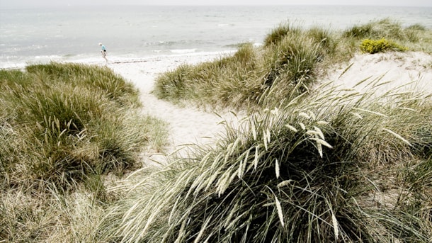
Holocene marine foreshore formation in the form of a crumbling dune complex with seawalls, salt marshes and small beach lakes.
Geospot: Eriks Hale
Holocene marine foreshore formation in the form of a large crumbling dune complex with seawalls, salt marshes and small beach lakes.
Skjoldnæs og Næbbet
Coastal cliffs, dead ice landscapes and a well-developed Holocene angular foreland are among the natural attractions on the northwesternmost part of Ærø
Ristinge Klint
Ristinge Klint (Clint of Ristinge) in southwestern Langeland is a world-class example of how a glacier can push soil layers.
Voderup Klint (Voderup Cliff)
Experience the largest natural steps in the geopark: the landslide terraces at Voderup Klint.
Geopark: Møllegabet
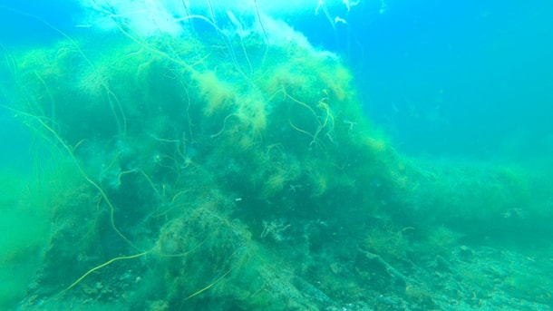
On the seabed off Ærøskøbing lies Møllegabet - a more than 6,000-year-old settlement from the Mesolithic Age.
Geopark: Lindelse Cove and the Strynø Basin
Lindelse Nor and the Strynø Basin together forms the finest example of the drowned landscape of the Stone Age.
Geospot: Ommelshoved and Halmø
Long, narrow moraine peninsula and smaller elongated moraine island, both with small coastal cliffs with Weichselian deposits.
Geospot: Lehnskov
Between Ballen and Lehnskov Mølleskov lies a series of cliffs with several different moraine layers from the Saale and Weichsel periods.
Thurø Østerskov og Thurø Rev (Thurø Eastern Forest and Thurø Reef)
Coastal cliffs with deposits from two ice ages, as well as a well-developed Holocene angle foreland with rich plant- and bird life and good swimming opportunities.

