Birds and wildlife
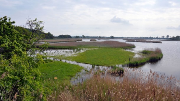
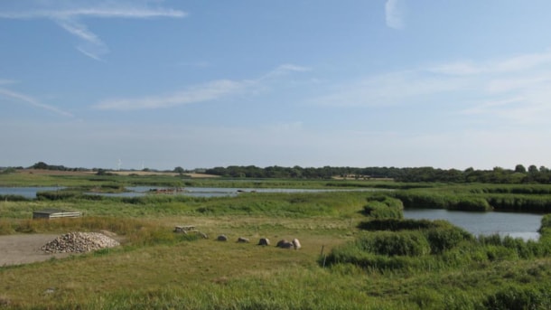
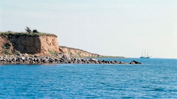
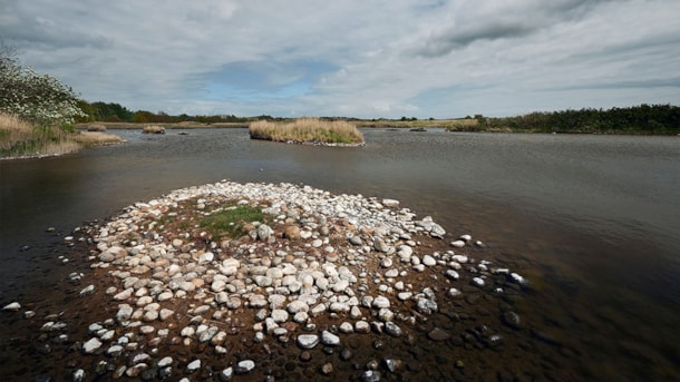
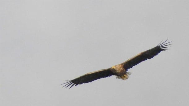
The varied coastline and many peaceful islands are excellent breeding grounds for waterfowl. There are a number of areas in the geopark where you can observe bird and animal life. Just be aware of the breeding periods, when travelling in the areas is not allowed.
Geopark: Tåsinge Vejle
Previously, Tåsinge Vejle was a small meltwater valley created during the last ice age
Geopark: Tryggelev Cove and Nørreballe Cove
Former low-lying land areas that were flooded during the Holocene sea level rise.
Geospot: Urehoved and Dejrø
Urehoved is a long, narrow peninsula consisting of former small moraine islands connected by Holocene marine formations.
Geopark: Snarup
The Snarup area is a special part of the complex dead ice landscape that covers large parts of central Funen.
Syltemade Ådal (Syltemade Stream Valley)
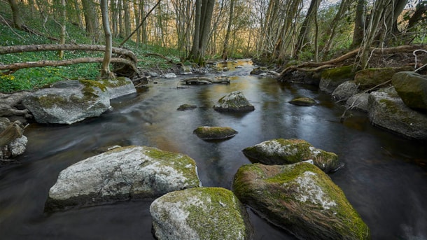
Magnificent extramarginal meltwater valley formed in relation to the Hvidkilde-Ollerup tunnel valleys. The area's many habitats offer a rich and varied animal and plant life.
Geopark: Egense Ridge
Elongated, up to 54 meters high, ridge that winds in an irregular course through the landscape west of Svendborg
Geopark: Vitsø
Overordnet set udgøres Vitsø-området af et større dalstrøg, hvis dannelseshistorie ikke er fuldt afklaret.
Geopark: Vejstrup Stream Valley
The striking Vejstrup Ådal is one of East Funen's most beautiful stream valleys with several springs.
South Langeland
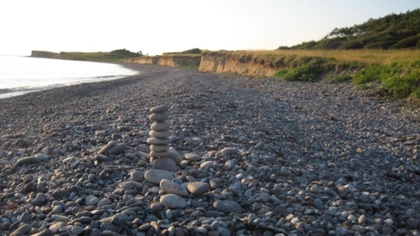
For many years, Sydlangeland (Southern Langeland) including Gulstav Mose, Gulstavskovene, Ørnehøj, Dovns Klint and Keldsnor has been known as a great bird migration place, especially in the fall.
The forests on North Langeland
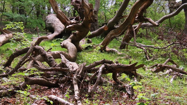
A large forested area around the port of Lohals on the northernmost part of Langeland.
Arreskov Lake
Arreskov Sø (Lake Arreskov) is located east of the ice-marginal hill-complex, ‘The Alps of Funen’, and its size of 3.17 km2 makes it the largest lake on the island of Fyn.
Brændegård Lake og Nørre Lake
Brændegård Sø (Brændegård Lake) and Nørre Sø (Nørre Lake) are, along with the surrounding nature, part of the vast dead-ice landscape occupying major parts of central Funen

